
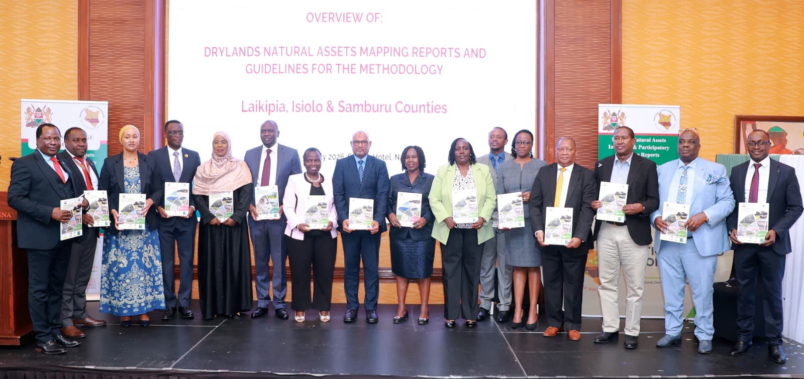
NAIROBI, Kenya, July 9, 2026 – The National Land Commission (NLC), working with the Wyss Academy for Nature, the Centre for Training and Integrated Research in ASAL Development (CETRAD), county governments and local communities, has launched the Dryland Natural Assets Inventory and Participatory Mapping Reports for Isiolo, Samburu and Laikipia counties.
The reports, unveiled in Nairobi on Thursday, are expected to strengthen sustainable land governance, environmental conservation and climate resilience by providing detailed information on key natural resources across Kenya's arid and semi-arid lands.
The mapping exercise documents vital natural assets, including rivers, wetlands, springs, forests, wildlife corridors, grazing reserves, rock catchments, livestock routes and salt licks. These resources play a critical role in supporting livelihoods, biodiversity, tourism and economic development in the three counties.
Speaking during the launch on behalf of the Principal Secretary for the Ministry of Environment, Climate Change and Forestry, Environment Secretary Selly Kimosop said Kenya's drylands cover nearly 90 percent of the country's land mass, making sustainable management of these ecosystems essential.
She noted that the newly launched reports will provide reliable data to support government planning, conservation efforts, research and investment while improving land-use decisions and reducing conflicts over natural resources.
Kimosop emphasized that the participatory mapping process combined scientific research with indigenous community knowledge, ensuring that local communities played an active role in identifying and documenting important natural assets.
National Land Commission Chairperson Dr. Abdillahi Saggaf Alawy described the reports as a major milestone in improving land administration and protecting Kenya's natural heritage.
According to Alawy, the reports provide evidence that will guide county spatial planning, land administration, policy formulation and sustainable investment while helping prevent environmental degradation and disputes arising from poor land-use planning.
He urged both national and county governments to ensure the reports are actively used in decision-making instead of remaining reference documents.
Commissioner Vincent Kigen, who chairs the NLC Land Administration and Management Committee, said the country has made significant progress in documenting land ownership but has paid less attention to recording the natural resources that communities depend on.
He observed that documenting natural assets is essential for their protection, especially as infrastructure development and community land registration continue across northern Kenya.
Representing the three pilot counties, Laikipia County Executive Committee Member for Water, Environment, Natural Resources, Wildlife and Climate Change Leah Njeri welcomed the initiative, saying the reports will help counties improve environmental planning and conservation.
She added that the information will support wildlife conservation policies, climate adaptation planning and responsible management of natural resources while protecting wildlife corridors that allow peaceful coexistence between people and wildlife.
The reports also identify key challenges facing dryland ecosystems, including climate change, land degradation, encroachment, land fragmentation, infrastructure expansion and increasing competition over natural resources.
In addition, the initiative introduces Kenya's first standardized guidelines for participatory natural assets mapping, creating a framework that can be replicated in other arid and semi-arid counties.
Stakeholders called for the reports to be integrated into county spatial plans, environmental conservation programmes, community land registration and national development strategies to safeguard Kenya's natural resources and promote sustainable development.
